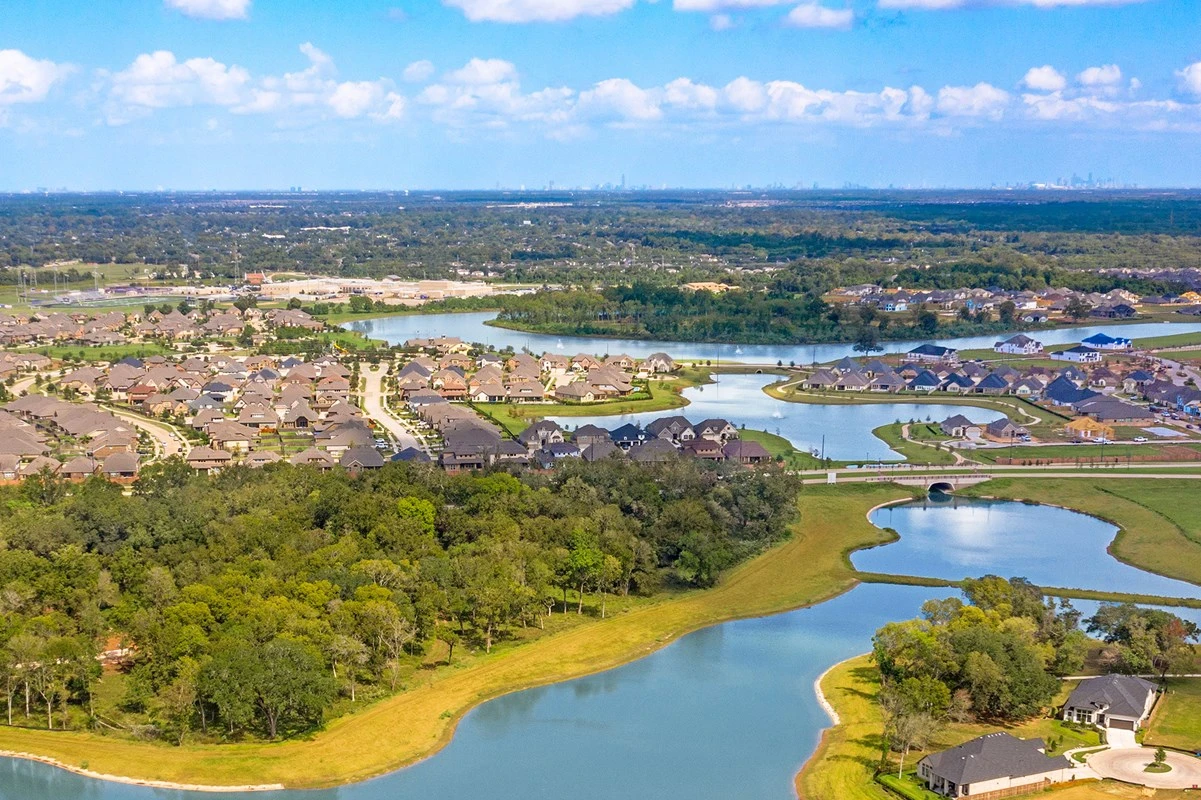
Cinco Ranch is a large, complete master-planned community with a Katy mailing address, a two-county footprint, two residential associations, many named villages, and address-specific rules for schools, taxes, flood checks, and amenities. This guide explains how the areas differ and what to verify before buying or selling.
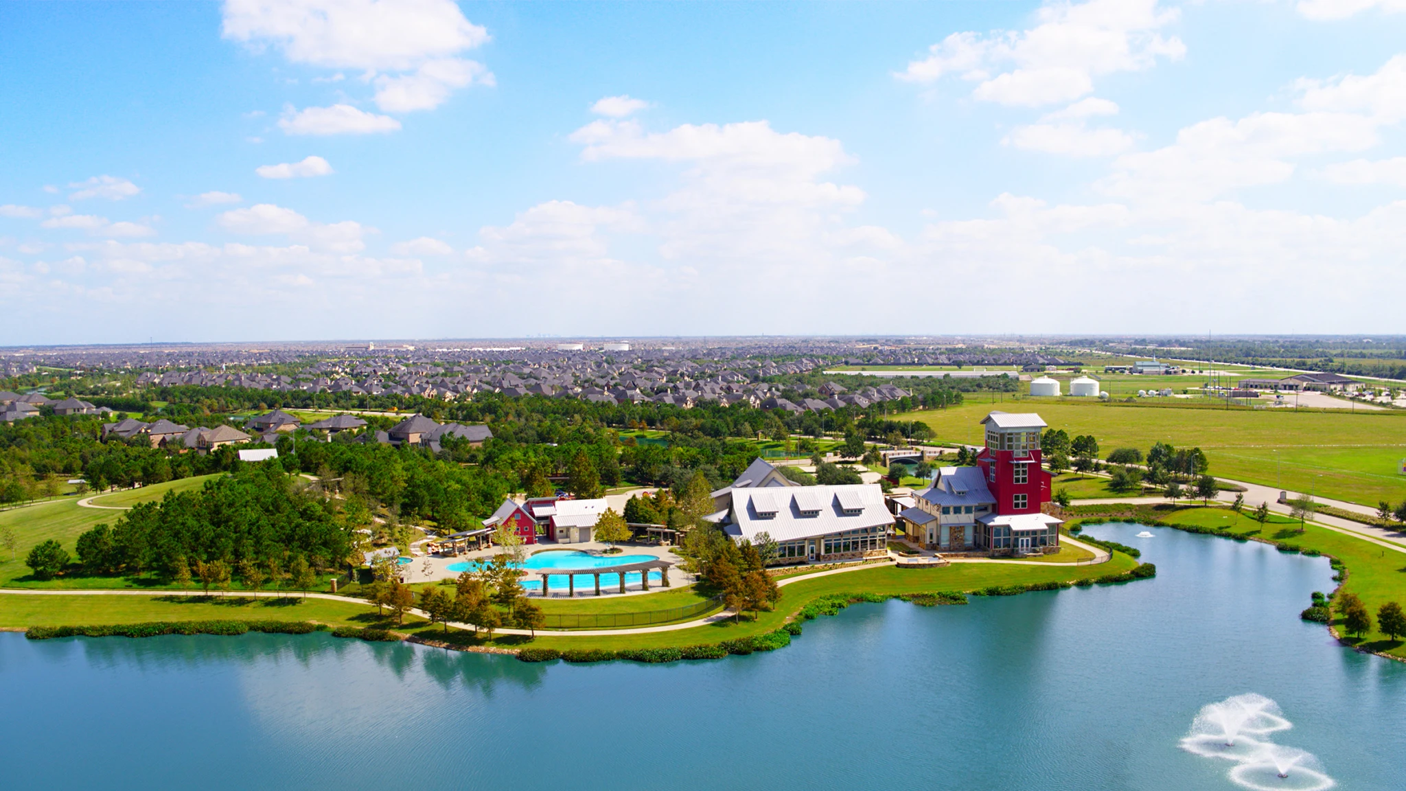
Cinco Ranch is a large, complete master-planned community in the greater Katy area of west Houston. It has lakes, parks, pools, trails, a golf course, LaCenterra, and many named villages. The important detail is that the name “Katy” on a mailing label does not mean the home is inside the City of Katy. Cinco Ranch is a Census-defined place that spans unincorporated Fort Bend and Harris counties and sits in the City of Houston extra-territorial jurisdiction, or ETJ. The ETJ is the area outside Houston city limits where the city has limited regulatory authority.
The short answer
Start with the exact address, not the community nickname. Cinco I is east of Katy-Gaston Road. Cinco II is west of Katy-Gaston Road and contains the Southwest and Northwest areas. County, appraisal district, MUD, HOA documents, flood information, and Katy ISD campus assignment can all change from one section to the next.
What Cinco Ranch is, and where it sits
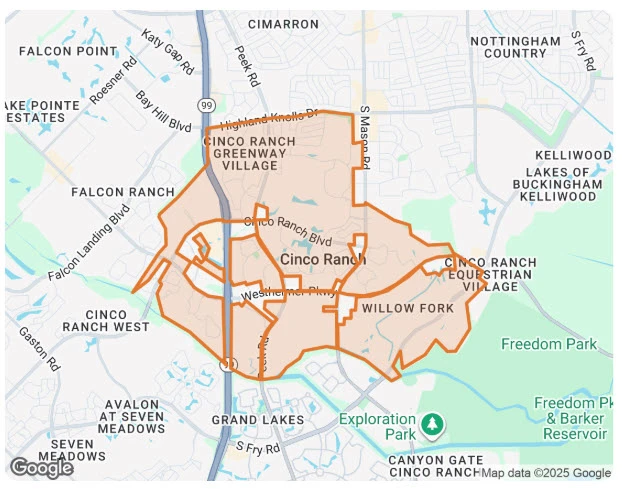
Cinco Ranch sits south of Interstate 10 and is divided by the Grand Parkway, State Highway 99. The Grand Parkway is a major east-west road through the Katy area. Katy-Gaston Road is the more important line for understanding the two residential associations: the developer’s guide says residents east of Katy-Gaston Road are part of Cinco I, while residents west of Katy-Gaston Road are part of Cinco II.
The area is not an incorporated city. The U.S. Census describes Cinco Ranch as a CDP, which is a statistical boundary used for counting a community. A CDP boundary does not decide who collects a tax, which MUD supplies water, which HOA has authority, or which school a child attends. The Cinco Ranch CDP crosses the Fort Bend and Harris county line, and local public sources describe the community as being in Houston’s ETJ.
Read the map by road
- I-10: north of Cinco Ranch and a major regional route.
- Grand Parkway (SH 99): runs through the community.
- Katy-Gaston Road: the association boundary between Cinco I and Cinco II.
- LaCenterra: a commercial town-center area near the middle of the community.
- Barker Reservoir: an important drainage feature east of the broader Katy area.
Useful starting points: the U.S. Census Cinco Ranch CDP map and the City of Houston annexation and ETJ page.
How the villages and areas fit together
“Village,” “neighborhood,” and “section” are used in different ways in Cinco Ranch. Some names are development sections. Some are neighborhood names used by residents. Some names may have their own council, service obligation, or local rules. None of those labels should be treated as a city boundary or as proof that one association controls the entire community.
The first practical split is Cinco I and Cinco II. Cinco Ranch II’s official FAQ describes its area as Southwest and Northwest. Its community maps and delegate documents list many named sections, including Sendera, Sedona, Rosewood, Pine Forest, Spring Lake, Cypress Bend, Cedar Grove, Cedar Heights, Rollingwood, Oak Forest, Pine Hills, Avalon, Bandera Glen, Sagewood, Ironwood Estates, Sycamore Meadows, Westridge Creek, and Ridgefield Heights. Those names are useful for understanding the housing and amenities, but the exact legal answer comes from the property documents.
| Area | What is useful to know | What to verify |
|---|---|---|
| Cinco I: original core and eastern villages | East of Katy-Gaston Road. The original core, Town Center area, lakes, Beach Club area, and named areas such as Greenway, North Lake, South Lake, Equestrian Village, Meadow Place, South Ranch, Southpark, and Cinco Forest. | Exact Cinco I documents, local section rules, county, MUD, flood information, and school assignment. |
| Cinco Ranch West | A broad western label used by maps and listing data. It groups several sections, so street patterns, housing eras, and maintenance questions can differ from the original core. | The Katy-Gaston Road association boundary, exact plat, local service area, current tax units, flood information, and Katy ISD assignment. |
| Cinco Ranch Southwest | A large part of Cinco II west of Katy-Gaston Road. The Lake House is the Cinco II home base, and the area contains many named sections. | Cinco II documents, neighborhood or service-area obligations, MUD, county, flood history, and school assignment. |
| Cinco Ranch Northwest | The later western part of Cinco II. Named sections include Bandera Glen, Sagewood, Ironwood Estates, Sycamore Meadows, Westridge Creek, and Ridgefield Heights. | The exact section, MUD, county record, flood tools, and current Katy ISD campus. |
Use this quick guide to remember the first check. The table above remains the full explanation.
Cinco I: east of Katy-Gaston Road
Boundary clue: The eastern side contains the original core, the Town Center area, and several named villages.
Look for established landscaping, lakes, the Beach Club area, and the original 1990s-era street patterns. The exact address may still have a separate local section or service obligation.
First check: Verify the Cinco I governing documents, the exact MUD and county, the school assignment, and any local section rules.
How Cinco Ranch developed
Cinco Ranch began as ranch land. The Texas State Historical Association describes a cattle ranch and rice-farm history and says five families or partners gave the ranch its “Cinco” name. The property was purchased in 1984, and the planned-community story grew from that land base.
The first homes opened in 1991. The community expanded over the following decades, with later growth extending toward the Grand Parkway and into the Southwest and Northwest areas. The developer now says Cinco Ranch is complete. That history explains why one street can feel established and mature while another section can have a later construction era and different systems.
LaCenterra added a separate commercial layer. Its town-center concept began with construction in 2006 and the first phase opened in 2007. Today it is a useful reference point for shopping, dining, and community events, but it is not an HOA amenity in the same sense as a Cinco Ranch pool or park.
Background source: Texas State Historical Association, “Cinco Ranch, TX”.
The homes and the resale market
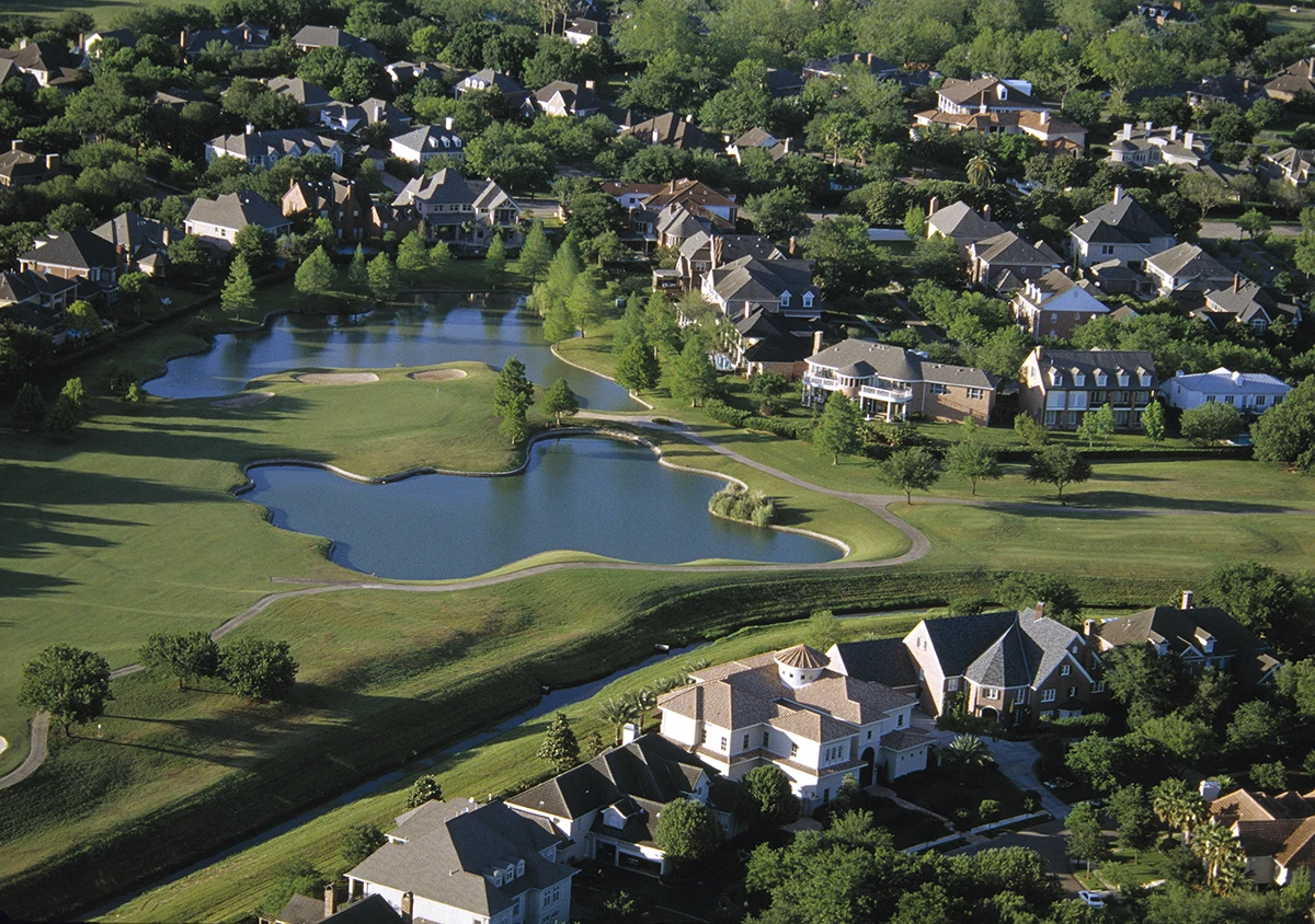
Cinco Ranch has a mix of detached single-family homes, townhomes, patio homes, and larger or custom homes. The mix changes by village, section, and build period. A townhome may share a wall and have a different ownership structure from a detached house. A patio home may offer a smaller yard. A custom home may have features that are not repeated two streets away.
Because the master-planned community is complete, most ordinary listings are resales. A buyer should not assume that every home is old, that every later section is new, or that a builder-backed sale is impossible. The useful comparison is the actual address: year built, lot, layout, updates, roof and HVAC condition, association documents, MUD, county, and flood history.
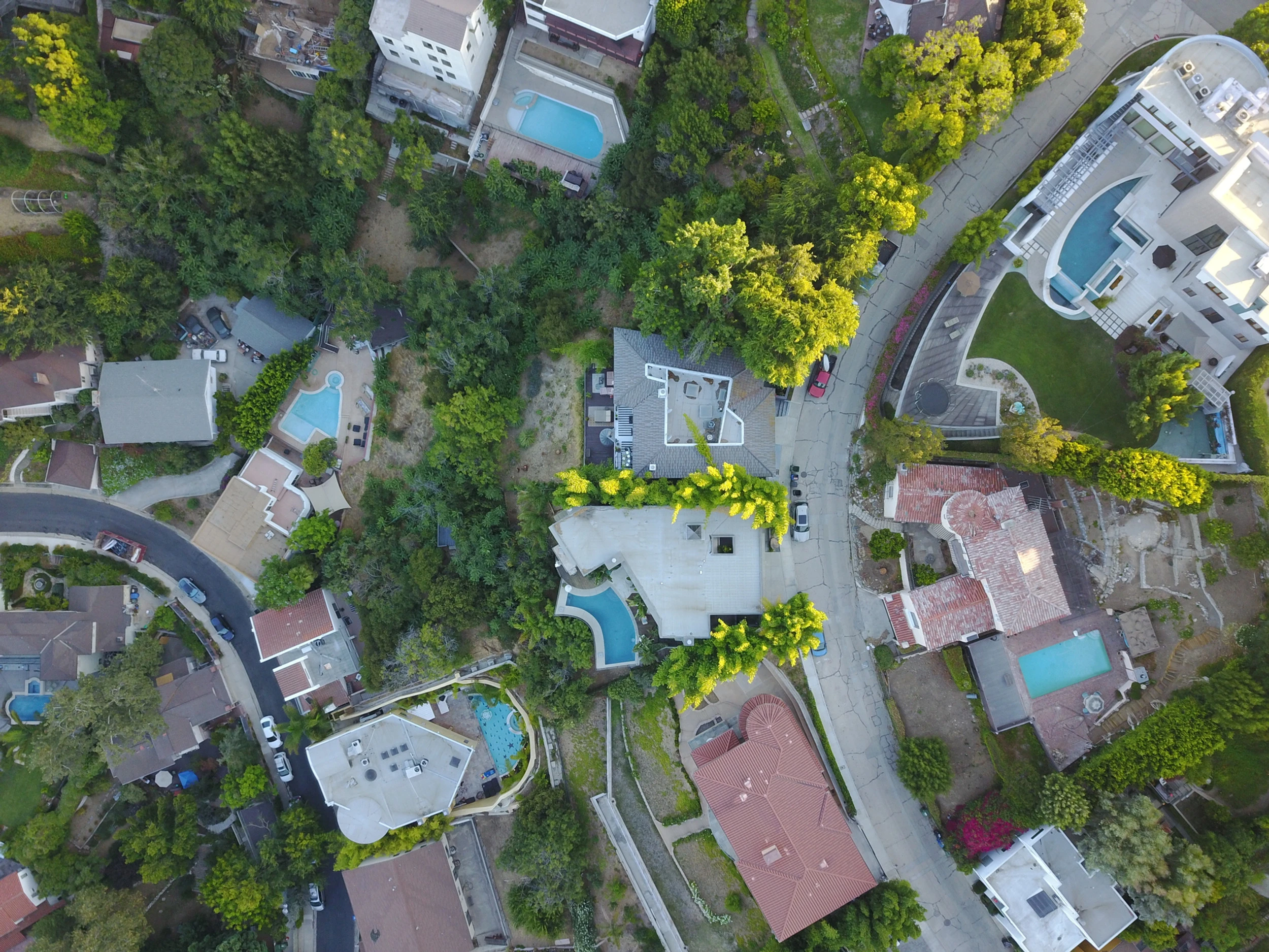
In a resale inspection, pay attention to the boring but expensive parts: roof age, attic ventilation, HVAC, windows, electrical work, plumbing, slab movement, drainage grade, fence condition, and evidence of previous water. A polished kitchen can hide a system that needs immediate work. The listing label “Cinco Ranch” cannot replace the inspection.
Daily life: what is actually nearby
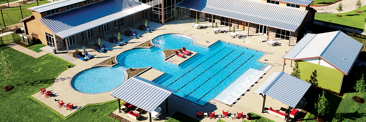
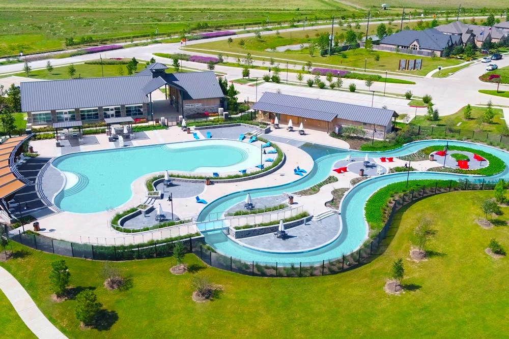
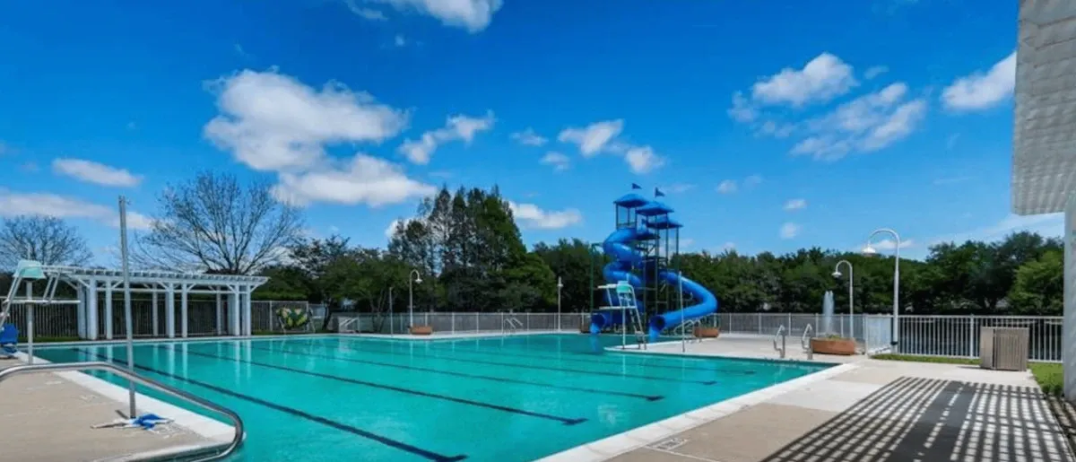
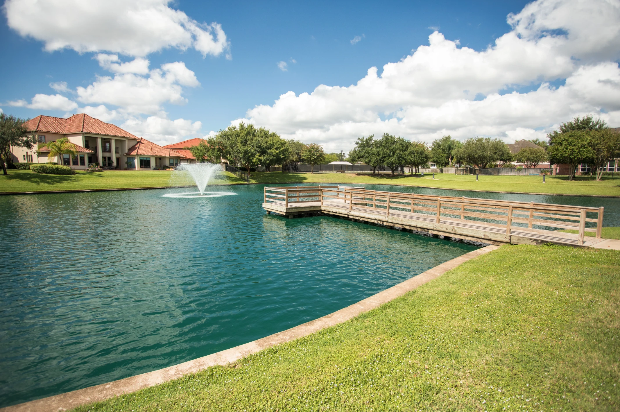
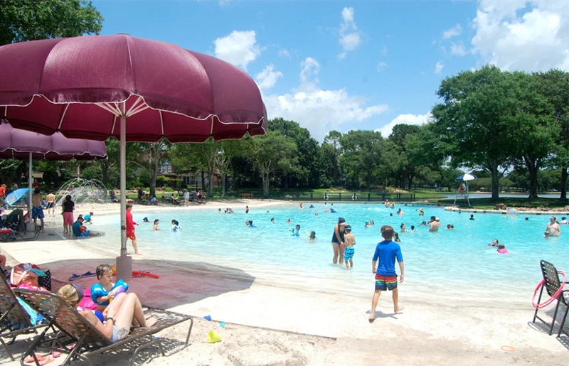
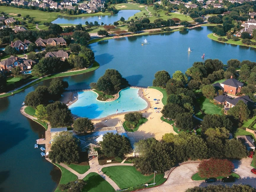
Cinco Ranch’s public community overview describes a large amenity network: about 91 parks, 11 pools and water parks, seven lake areas, 17 tennis and pickleball courts, an 18-hole golf course, and trails. Treat those figures as a dated overview rather than a promise that every facility has the same hours, rules, or access system on the day you visit.
Pools, parks, and lakes
The Cinco I and Cinco II associations operate amenity systems for their residents. A recorded reciprocal use agreement lets members of each association use the other side’s facilities, subject to access rules, schedules, guest limits, and operating policies. These are association amenities, not city parks open to everyone.
Trails and recreation
The Willow Fork Drainage District reports about 15 miles of drainage channels, more than 50 miles of storm sewer lines and outfalls, about 30 miles of off-street trails, and three community parks. The exact route near a home may be public, association-controlled, or part of a drainage district system.
LaCenterra
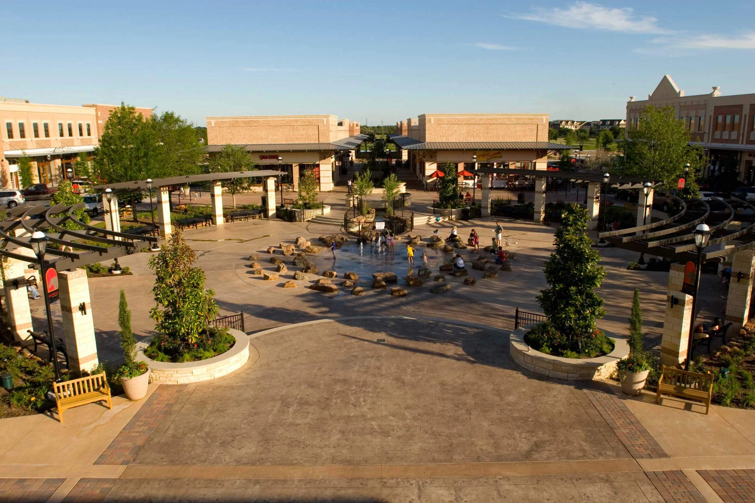
LaCenterra at Cinco Ranch is the main commercial town-center reference for many residents. Its official address is 23501 Cinco Ranch Blvd. The Central Green is used for community events, and the directory includes restaurants, retail, services, and Trader Joe’s. Use the official LaCenterra map for the current tenant list; a retail directory can change.
Golf is a separate question
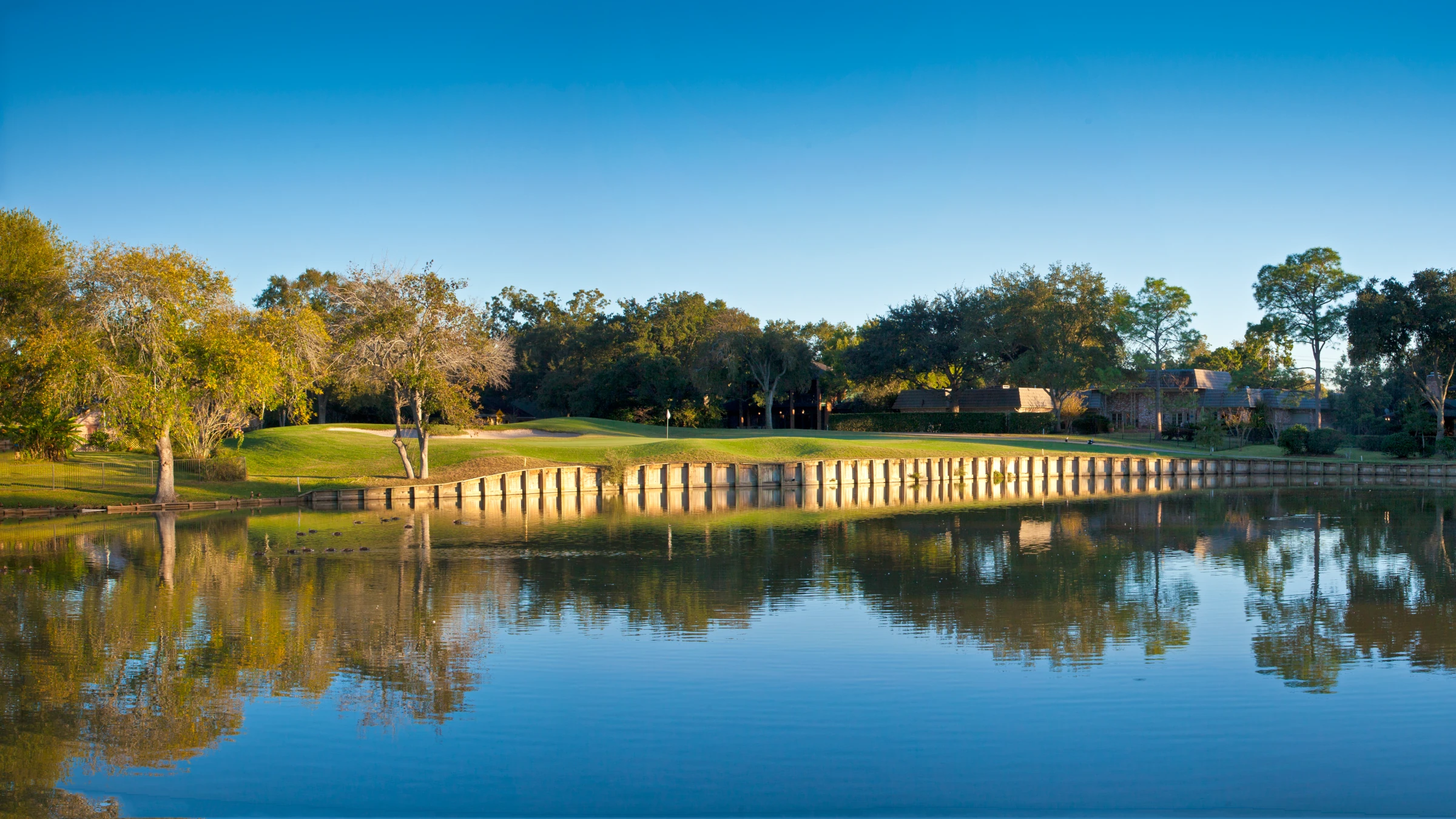
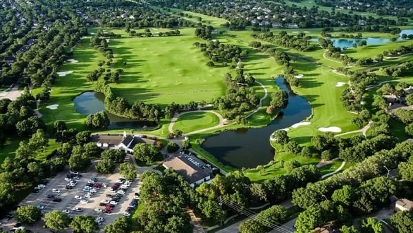
The Golf Club at Cinco Ranch at 23030 Cinco Ranch Blvd. is an 18-hole, par-71 course operated as a daily-fee golf facility. It has tee-time and membership options, but golf access is not the same thing as Cinco Ranch HOA amenity access. Ask the golf operator about current rates, tee times, and membership rules. Do not assume that a pool pass includes golf.
Schools and the address check
Katy Independent School District serves Cinco Ranch, but “Cinco Ranch” is not a school assignment. Katy ISD assigns campuses by the exact residential address and current attendance boundaries. Two homes near each other can be assigned to different elementary, junior high, or high schools.
Use the district’s official Find My School tool and the attendance-zone page for the current answer. School ratings are not included in this guide because ratings change and do not replace an address lookup.
What ownership involves
A Cinco Ranch home is not governed by one simple layer of authority. Start with the property record, then work through the details.
- County and appraisal district: the two-county footprint can send a property to Fort Bend County or Harris County records. Check the Fort Bend CAD search or the Harris CAD search for the exact account and taxing jurisdictions.
- MUD: a Municipal Utility District, or MUD, is a local government district that can provide or finance water, wastewater, drainage, and sometimes other services. The MUD tax is part of the property-tax picture. Cinco Ranch is served by multiple MUDs, so the district name and tax rate must be checked by address.
- HOA association: Cinco I and Cinco II are separate master associations. A local section or community council may add another layer. The official Cinco Ranch developer site explains the Katy-Gaston split, and the Cinco I site and Cinco II FAQ provide association information and maps.
- Service-area obligations: some sections may have a local service-area assessment or special obligation. Do not assume that the same dues or obligations apply across every village. Read the resale certificate and governing documents for the exact property.
- Rental rules: Cinco I’s current public reminder says leases must be at least 30 days, the whole home must be rented, and tenants must be registered. That is an association example, not a universal rule for every Cinco Ranch property. Check the property’s documents and current rules.
- Flood checks: the FEMA flood zone, a reservoir flood pool, local drainage, and the home’s actual flood history are separate facts. Start with FEMA’s Flood Map Service Center, Fort Bend County’s floodplain page, and the Harris County Flood Education Mapping Tool where applicable. Ask the seller for the disclosure and any flood claims, repairs, insurance history, or FEMA or SBA assistance.
The Willow Fork Drainage District and the U.S. Army Corps of Engineers explain the regional role of Barker Reservoir and the local drainage channels. Water can move through channels and low areas beyond the reservoir’s government-owned land. A map is useful, but it is not a substitute for the home’s history, disclosure, and inspection.
Why people consider Cinco Ranch, and the tradeoffs
Reasons people look here
The community offers many parks, pools, lakes, trails, a town center, golf, and a range of housing styles. The original core can offer mature trees and established streets. Later sections can offer different layouts and newer systems. A buyer can compare the lifestyle at LaCenterra with a quieter street near a lake or trail.
Reasons to pause
HOA rules, possible local assessments, MUD taxes, traffic on major roads, flood and reservoir questions, and the need to compare many different village eras all add work. A complete community also means that a buyer may not find a new-home phase or a builder incentive in the same section.
There is no single “best” village. A better question is which combination of features fits the reader: a later-built home, an established street, a townhome with less yard, a particular trail, a specific school campus, or a lower maintenance burden. The answer is usually found in the address records and a real visit, not in a generic ranking.
Buying and selling in the built-out market
A buyer comparing two Cinco Ranch homes should make the same checks for each one. This is more useful than trying to decide which village is “better.”
- Confirm the exact county and appraisal district.
- Identify the MUD and obtain the current tax information.
- Identify Cinco I or Cinco II, then check any local section or service-area layer.
- Request the resale certificate and the governing documents.
- Check the current Katy ISD campus assignment for the exact address.
- Check FEMA layers, county flood tools, and the seller disclosure.
- Confirm which amenities are included, which require registration, and whether golf is separate.
- Inspect the actual roof, HVAC, electrical, plumbing, drainage, and evidence of previous water.
A seller should use the exact village or section when the records support it, disclose flood and HOA information clearly, and explain the home’s era and maintenance. A listing that says only “Cinco Ranch” can hide the very details that matter most: the MUD, the county, the association, the local assessment, the school campus, and the property’s water history.
FAQs about Cinco Ranch
Is Cinco Ranch inside the City of Katy?
No. A Katy mailing address is common, but Cinco Ranch is a Census-defined place in unincorporated Fort Bend and Harris counties and is described as being in Houston’s ETJ. Do not use the postal city to decide jurisdiction.
Is Cinco Ranch one HOA?
No. Cinco I and Cinco II are separate residential associations. A named village or section may have another local layer. Check the exact documents.
What does Cinco II mean?
Cinco II is the association area west of Katy-Gaston Road. The official Cinco II material describes it as made up of Southwest and Northwest.
Are all Cinco Ranch homes the same age or style?
No. The community grew from the 1991 opening through later expansions, and it includes detached homes, townhomes, patio homes, and larger or custom homes. Compare the actual home, not the community label.
Are all homes in the same flood zone?
No. Flood zone, reservoir flood pool, drainage, and flood history are separate checks. Use the exact address, current official maps, the seller disclosure, and an inspection.
Are the pools and parks public?
They are association amenities. The Cinco I and Cinco II reciprocal use agreement lets residents use the other side’s facilities subject to rules, access systems, schedules, and guest limits. That is not the same as public city access.
Is golf included in HOA dues?
Not by default. The Golf Club at Cinco Ranch is a separate daily-fee golf facility. Ask the operator about tee times and membership options.
How do I find the right school?
Use Katy ISD’s official address lookup. The community name does not guarantee a campus, and boundaries can change.
Is there still new construction?
The developer states that Cinco Ranch is complete. Most ordinary transactions are resales, but an individual lot or builder-backed sale can still appear. Check the listing and property records.
How do I compare two exact addresses?
Make one checklist for each home: county, appraisal district, MUD, HOA, local service area, school, flood tools, disclosure, amenities, taxes, and inspection findings.
Next step
Cinco Ranch makes more sense when you stop treating it as one uniform neighborhood and start reading the address as a set of records. The road map can show where a home sits. The official county, MUD, HOA, flood, and school tools show what that home actually involves.
If you are thinking about buying or selling in Cinco Ranch, Sonia Noman can help you compare the exact address, association documents, MUD information, flood checks, and Katy ISD assignment before you make a decision.
Sources used for this guide
- Cinco Ranch developer site for the community’s completed status and Cinco I/Cinco II Katy-Gaston boundary.
- Cinco Ranch II FAQ and the recorded reciprocal use agreement.
- Willow Fork Drainage District and Cinco MUD 5 history for drainage, trails, parks, MUD, and ETJ context.
- Katy ISD Find My School and the Katy ISD boundary-modification page.
- LaCenterra official site, The Golf Club at Cinco Ranch, and the Texas State Historical Association history entry.
- FEMA Flood Map Service Center, Fort Bend County floodplain map, and the Texas seller disclosure form for property-level flood checks.